Near Space Labs for Underwriting
Empower your insurance organization with updated, high-resolution imagery to mitigate risk, accurately price policies, and unlock new market potential.
Underwrite with Confidence
Why Near Space Labs?
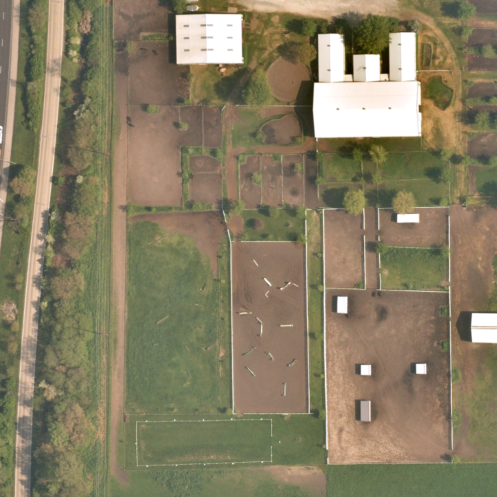
With us, underwriters have access to high-quality property data refreshed every 90 days.
We operate zero-emission vehicles in the stratosphere, twice as high as commercial airplanes, which allows us to offer timely, ultra high-resolution images at scale.
By offering the most recent and accurate property data available, we help your team drive revenue, reduce physical inspections and mitigate risk across your entire portfolio.
.png)
Opportunities to Enhance Underwriting
Near Space Labs is offering 100% parcel coverage 4x a year of the continental US. With our imagery, underwriters are unlocking new processes that save time, reduce expenses, and drive competitiveness for new and renewing policies. Don't miss out on the below opportunities to enhance your business.
.png)
Improve Property Assessments
Use data refreshed every 90 days to quickly understand the ground truth, driving timely and competitive policies while reduce carrier exposures.

Gain Insights into All US Policies
Comprehensively assess policies in both urban and rural areas, across all of the states you operate in.
.png)
Efficiently Update Renewals
Uplevel every renewal with remote inspections that allow you to align policies with evolving risk, while increasing long-term customer satisfaction.

Automate and Triage Property Inspections
Reduce physical inspections and expenses by only sending on-site personnel to the most demanding underwriting cases.
Don't Make Compromises.
Make Better Decisions.

Wide-Scale Captures
We capture entire cities in a matter of hours, allowing us to efficiently cover large metropolitan areas, suburbs, and rural locations.

High-Frequency
Gain the most reliable and updated property data available with 90 day refresh rates.

Ultra High-Resolution
See detailed views and conditions of insured properties with ultra high-resolution imagery.
.png?width=100&height=100&name=globe%20(2).png)
Zero-Emissions
Our stratospheric robots are a sustainable solution to Earth imaging. Incorporate our solution to meet company ESG goals.
