Community Resilience & Innovation Earth Imagery Grant
Gain free access to high-quality geospatial data to drive solutions, innovations, and research for building more resilient cities and communities
About the Program
Near Space Labs is granting free access to our 10 cm Earth imagery to researchers, urbanists, universities, and organizations who are otherwise unable to obtain high-quality data due to budgetary restrictions.
Upon being accepted, recipients of the imagery grant will receive 12 months of free, unlimited access to Near Space Labs' database of 10 cm imagery. The included data covers some of the most populous cities in the US with frequency rates up to 90 days.
We are offering an unlimited amount of grants and will be reviewing applications on a rolling basis.
Continue reading to learn more about our eligibility requirements and submit your application.
Example of Imagery Grant
Use Case
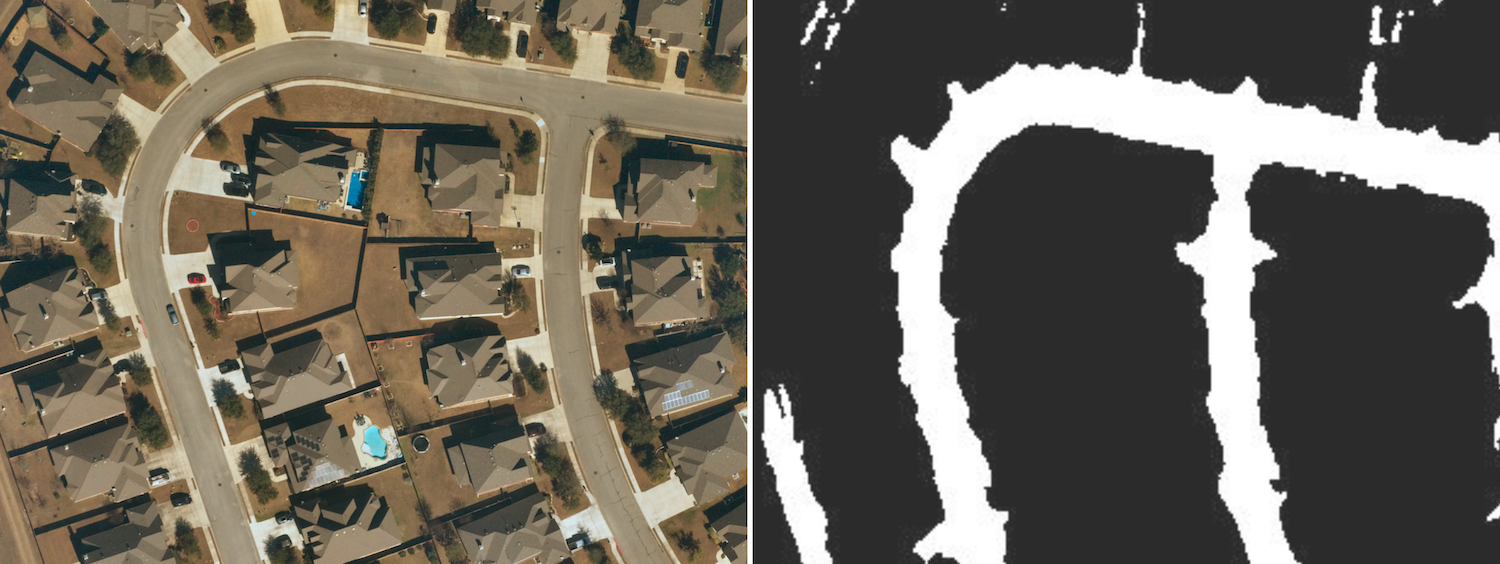
University Student Builds Road Detection Model for Thesis Project with
Near Space Labs' Data


To apply to this imagery grant, recipients must possess the following qualifications:
- Areas of interest include the most populous US cities (ex. Anaheim, CA; Houston, TX; etc.)
- Analysis requires any combination of:
- Ultra high-resolution (10 cm per pixel imagery)
- High recency (90 days or more refresh rates)
- Large volume of high-quality data
- Limited to no budget for imagery
- Your project/ research must not be for profit
- Must and be familiar with APIs to query locations with Near Space Labs' STAC Scene API or XYZ Tile Service

Although not required, ideal applicants will possess the following qualities (not exclusive):
- Titles
- Academic Researchers
- Urbanists
- Students studying geospatial data
- Data Analysts
- Organizations
- Research Universities
- Non-Profits
